Tuesday marks 17 years since the Sept. 11 terrorist attacks and images shared by NASA provide a unique and painful vantage point of the tragedy.
The image of New York City, embedded above, was taken on the morning of Sept. 11, 2001.
The image embedded below was taken on Sept. 12, 2001 at 11:30 a.m. EST, with smoke still billowing from ground zero.
NASA Astronaut Frank Culbertson was the only American on the International Space Station at the time of the attacks, and in the days following the attacks, he shared his thoughts.
"It's horrible to see smoke pouring from wounds in your own country from such a fantastic vantage point," Culbertson wrote on Sept. 13, 2001.
"The dichotomy of being on a spacecraft dedicated to improving life on the earth and watching life being destroyed by such willful, terrible acts is jolting to the psyche, no matter who you are. And the knowledge that everything will be different than when we launched by the time we land is a little disconcerting."
Today, NASA uses its technology to help with disasters via its Earth Science Disaster Program.
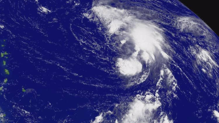
For example, NASA satellites are currently providing data to weather forecasters at the National Hurricane Center as Hurricane Florence approaches the United States.
And when the California wildfires ravaged hundreds of thousands of acres of land, NASA shared images from space that helped first responders plan their rescue efforts.
And the program, started about a decade ago but expanded in 2016, doesn't only aid in natural disasters.
"In 2010 NASA contributed data from satellites and aircraft to track the movement of oil from the Deepwater Horizon spill in the Gulf of Mexico," according to a 2017 post about the program.
Via the initiative, NASA enables "coordination and information support to a wide range of global incidents," says the post.
See also: