


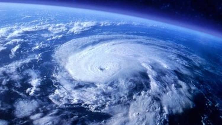
Hurricane Joaquin has been tough to track.
The hurricane has been confounding many of the major models that agencies in and outside the United States use to track storms. The models used by forecasters at the National Oceanic and Atmospheric Administration (NOAA) and elsewhere have shown drastically different paths for Joaquin, so NOAA is bringing in additional tools in an attempt to make those forecasts better align.
On Wednesday night, NOAA sent up an airplane, one of the agency's so-called hurricane hunters, to drop about three dozen devices called "dropwindsondes" — sometimes referred to as "dropsondes" — into the air around the storm. The plane does not fly into the storm itself, but takes samples of the environment around it
The dropwindsondes are small GPS-enabled tubes filled with sensors and attached to small parachutes. They can measure barometric pressure, ambient air temperature, relative humidity and GPS Doppler shifts, according to NOAA. Those data are used to compute wind speed and direction and give meteorologists a better idea of what the storm is doing, and where it might be headed.
The plane also has instruments on board that measure the shape of the storm's wind field and speed of the storm's winds.
Why all the disagreement?
Forecasters at NOAA rely on a long list of models maintained by several agencies, most of them in North America and Europe. They include NOAA's own Global Forecast System, the European Center for Medium-Range Weather Forecasts (ECMWF) model, the United Kingdom Met Office model and several others.

Many of those models rely on huge supercomputers that crunch all sorts of meteorological data. And they often disagree.
Even with the data from the plane, confidence in the forecasts remains "low," according to NOAA's forecast discussion from forecaster Michael Brennan, which was issued early Thursday. The track guidance changed significantly overnight, after (and perhaps due to) information coming in from the plane, Brennan wrote.
Two important National Weather Service models showed the hurricane pulling away from the Bahamas and heading toward the Carolinas in three or four days.
NOAA's GFS model showed the hurricane moving toward New York's Long Island and southern New England in five days. The UKMET showed the hurricane moving northward but staying farther offshore.
Separately, there's the problem of predicting storm surge, which was main factor that made Hurricane Sandy so destructive to parts of the East Coast in 2012.
The NOAA plane will be running more missions in the coming days—two every day, and meteorologists hope the forecasts across the different models will become more consistent.