

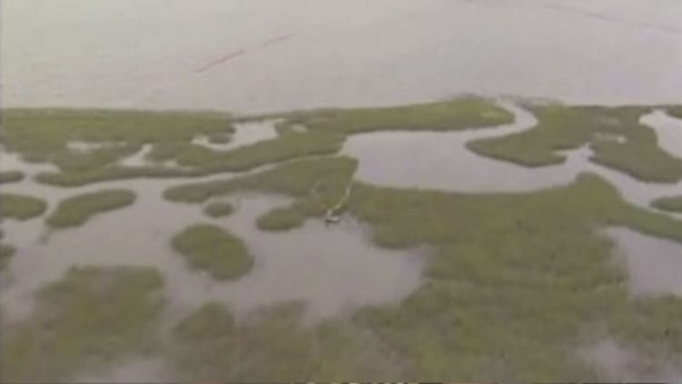
Parts of Louisiana were under water early Monday as severe thunderstorms moved into the Gulf Coast area after drenching Texas over the weekend.
The storm formed partially from remnants of Hurricane Patricia hit Texas hard,dropping more than a foot of rain in Forth Worth suburbs and 9 inches in areas around Houston.
By late Sunday the storm had weakened slightly and moved East, forecasters said.
More from NBC News:
5 Dead, 1 Missing after Whale-Watching Boast Sinks
Katy Perry, Bill Clinton Fire Up Hillary Crowd
Video Shows Coalition Strike Destroying Raises ISIS Prison
"For the most part the worst of this storm is over," The Weather Channel's lead meteorologist Kevin Roth said. "Though obviously the people in Mississippi and Alabama, they're not going to think that."
Louisiana's capital of Baton Rouge got more than 8.5 inches of rain on Sunday, with residents posting pictures of thigh-high water. Students at Louisiana State University posted video of playing volleyball in the floodwaters.
New Orleans airport also saw more than 8.5 inches of rain, according to the National Weather Service.
Forecasters warned that parts of the Gulf Coast were still at risk of high winds, floods and isolated tornadoes on Monday as the storm rolled through.
The National Weather Service said that the heaviest rain was expected across portions of Louisiana and parts of Mississippi, with severe storms are also possible across portions of Louisiana. Gusts of up to 50 miles per hour were reported in Gulfport, it added.
Roth said that between 2 and 4 inches of rain could call in parts of Mississippi and Alabama on Monday and that urban areas — particularly in northern Louisiana and Mississippi — could see flooding. Flash-flood warnings were in effect for parts of Mississippi through Monday afternoon.
A few isolated tornadoes — albeit weak ones — also might hit southern Mississippi, southern Alabama and the Florida Panhandle, Roth added.
"If anybody's on vacation there it's not the greatest beach day," he said, citing coastal flooding and gale warnings.