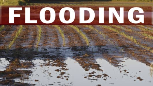
The rising Mississippi River could flow over the top of as many as 33 levees and damage homes and hundreds of thousands of acres of farmland if sandbagging efforts fail, according to a map released on Tuesday by the U.S. Army Corps of Engineers.
A headline on the press release reads "Numerous levees could overtop."
It adds: "To assist in identifying areas along the Mississippi River that may experience water levels exceeding the design height of levees, the Corps has developed a flood-fight map that identifies levee systems that have the potential for overtopping if National Weather Service forecast crests are reached."
The map is only for the Rock Island District and does not include levees in the St. Louis area, also hard-hit by the worst flooding in the U.S. Midwest in 15 years.
The map shows the river either had or will have overtopped 10 levees, which protect 51,000 acres of farmland, as the river crests from Tuesday, June 17, through Friday, June 20.
However, the Army Corps says in text accompanying the map that the projection does not reflect whether flood-fighting efforts had already reduced some of that risk of overtopping. Hundreds of volunteers and National Guard troops are placing sandbags to stop flood waters and raise the height of levees.
Sixteen levees, protecting 234,000 acres, are marked as having a high potential for overtopping. Another seven, protecting 52,000 acres, are marked as having potential for
overtopping. In all, the map shows 337,000 acres at least having potential of being at risk from overtopping.
The Army Corps did not immediately respond to requests for explanation of the map.
Corn and soybeans are the primary crops endangered by the flooding in the areas on the map. The loss of acreage from the recent flooding has sent corn futures to record highs.
One levee broke on Tuesday in Gulfport, Illinois, across the river from Burlington, Iowa.
Nearly 300 miles of the Mississippi River and 12 locks and dams have been closed to barge traffic due to the flooding, halting shipments of grain, coal and petroleum products.
The levees in New Orleans broke during Hurricane Katrina, causing catastrophic flooding.


